ၾၢႆႇ:Sarawak state locator.PNG
သႅၼ်းတႃႇတူၺ်းလူင်ႈၼႃႈ: 800 × 273 ၽိၵ်ႉသႄႇလ်. resolutionsတၢင်ႇဢၼ် : 320 × 109 ၽိၵ်ႉသႄႇလ် | 640 × 219 ၽိၵ်ႉသႄႇလ် | 1,024 × 350 ၽိၵ်ႉသႄႇလ် | 1,280 × 437 ၽိၵ်ႉသႄႇလ် | 3,000 × 1,025 ၽိၵ်ႉသႄႇလ် ။
ၾၢႆႇငဝ်ႈတိုၼ်း (3,000 × 1,025 pixels, တၢင်းလဵၵ်ႉတၢင်းယႂ်ႇ ၾၢႆႇ: 118 KB, ယိူင်ႈ MIME: image/png)

|
File:Sarawak state locator.svg is a vector version of this file. It should be used in place of this PNG file when not inferior.
File:Sarawak state locator.PNG → File:Sarawak state locator.svg
For more information, see Help:SVG. |
 |
ၵႂၢမ်းယေႃး
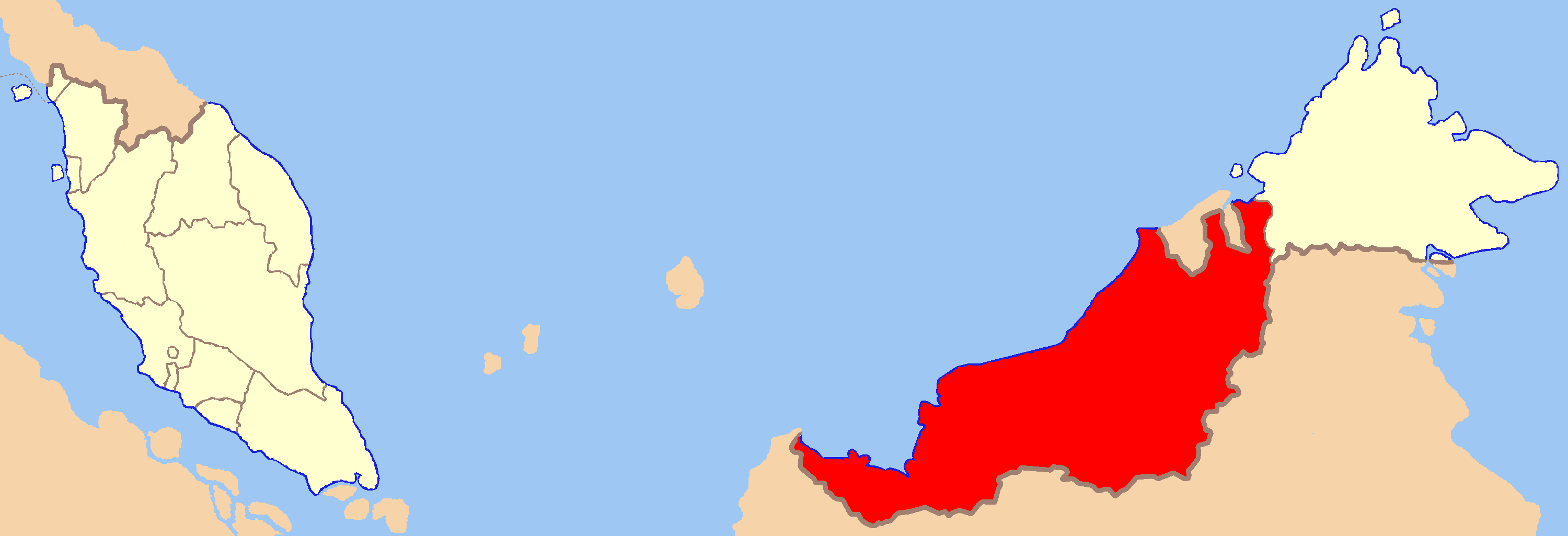
| ၶေႃႈသပ်းလႅင်း | Map of Malaysia with Sarawak highlighted |
| ဝၼ်းထီႉ | |
| ငိူၼ်ႈငဝ်ႈတိုၼ်း | ၵၢၼ်ၶွင်တူဝ် |
| ၽူႈတႅမ်ႈလိၵ်ႈ | Kawaputra |
ဝ်ႂ
| I, the copyright holder of this work, release this work into the public domain. This applies worldwide. In some countries this may not be legally possible; if so: I grant anyone the right to use this work for any purpose, without any conditions, unless such conditions are required by law. |
ပိုၼ်းၾၢႆႇ
တဵၵ်းၼိူဝ် ဝၼ်းထိ/ၶၢဝ်းယၢမ်း တႃႇႁၼ်ၾၢႆႇ ၼႂ်းဝၼ်းၼၼ်ႉ
| ဝၼ်းထီႉ/ၶၢဝ်းယၢမ်း | ႁၢင်ႈလဵၵ်ႉ | သႅၼ်းမၼ်း | ၽူႈၸႂ်ႉတိုဝ်း | တၢင်းႁၼ်ထိုင် | |
|---|---|---|---|---|---|
| ယၢမ်းလဵဝ် | 11:52, 21 ဢေႃးၵၢတ်ႉ 2007 | 3,000 × 1,025 (118 KB) | Kawaputra | {{Information |Description=Map of Malaysia with Sarawak highlighted |Source=self-made |Date=August 21, 2007 |Author= Kawaputra }} Category:Maps of Malaysia |
လွင်ႈၸႂ်ႉတိုဝ်း ၾၢႆႇ
2 ၼႃႈလိၵ်ႈ ၵွင်ႉမႃးၸူးၾၢႆႇၼႆႉ:
လွင်ႈၸႂ်ႉတိုဝ်းၾၢႆႇလူမ်ႈၽႃႉ
Wikis ၸိူဝ်းဢၼ်ၸႂ်ႉဝႆႉ ၾၢႆႇဢၼ်ၼႆႉ:
- ၸႂ်ႉဝႆႉ az.wikipedia.org
- ၸႂ်ႉဝႆႉ bcl.wikipedia.org
- ၸႂ်ႉဝႆႉ be.wikipedia.org
- ၸႂ်ႉဝႆႉ de.wikipedia.org
- ၸႂ်ႉဝႆႉ en.wikipedia.org
- ၸႂ်ႉဝႆႉ en.wikinews.org
- ၸႂ်ႉဝႆႉ eo.wikipedia.org
- ၸႂ်ႉဝႆႉ fi.wikipedia.org
- ၸႂ်ႉဝႆႉ fr.wikipedia.org
- ၸႂ်ႉဝႆႉ hu.wikipedia.org
- ၸႂ်ႉဝႆႉ incubator.wikimedia.org
- ၸႂ်ႉဝႆႉ mk.wikipedia.org
- ၸႂ်ႉဝႆႉ ms.wikipedia.org
- ၸႂ်ႉဝႆႉ pl.wikipedia.org
- ၸႂ်ႉဝႆႉ ro.wikipedia.org
- ၸႂ်ႉဝႆႉ simple.wikipedia.org
- ၸႂ်ႉဝႆႉ sv.wikipedia.org
- ၸႂ်ႉဝႆႉ tl.wikipedia.org
- ၸႂ်ႉဝႆႉ uk.wikipedia.org
- ၸႂ်ႉဝႆႉ ur.wikipedia.org
- ၸႂ်ႉဝႆႉ war.wikipedia.org